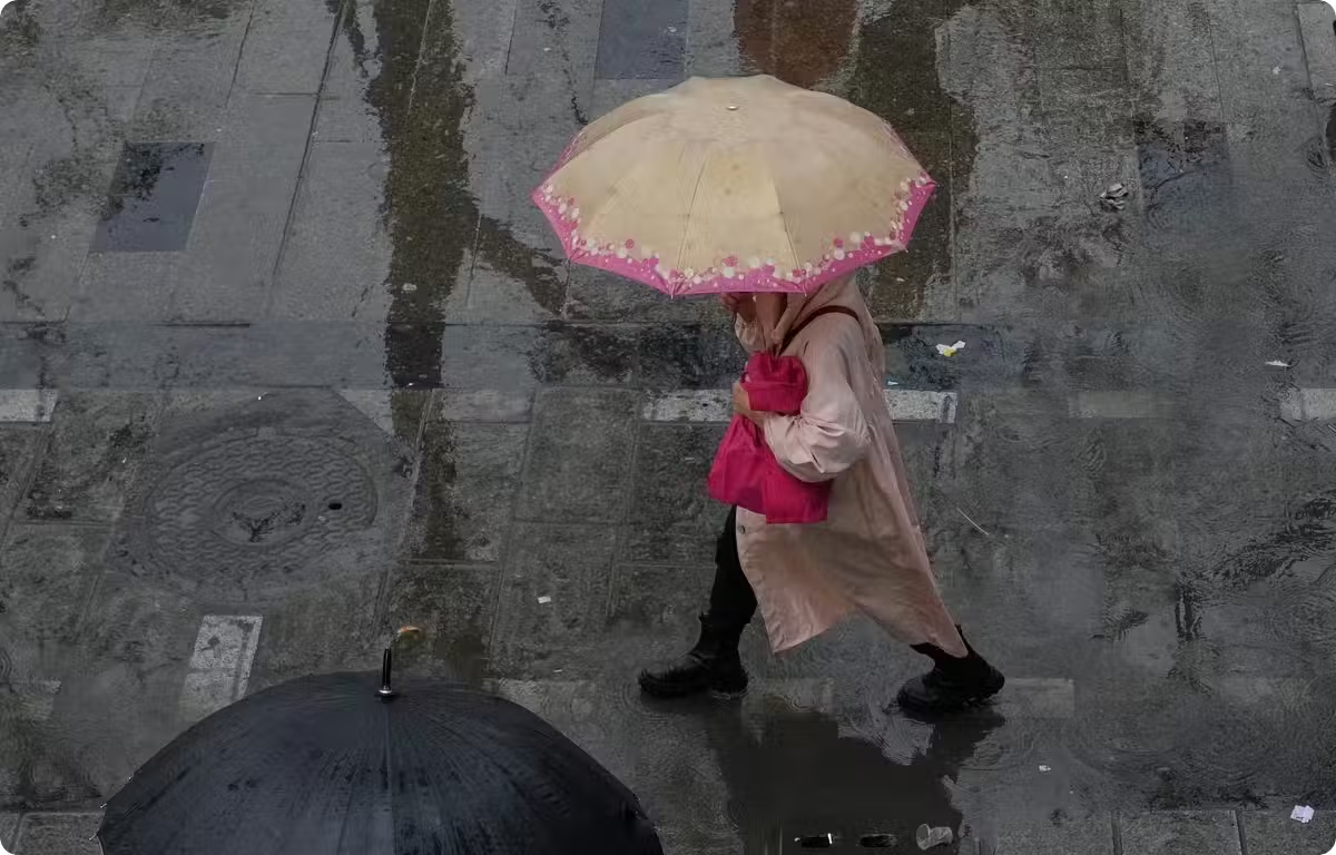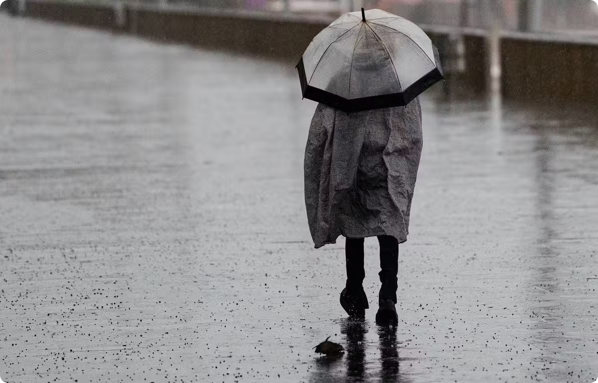
Storm Charles is sweeping across Western Europe, bringing severe weather conditions that have triggered emergency protocols and significant disruptions in both Portugal and France. Following the previous impact of Storm Bruna early in the week, authorities in Portugal have escalated their response to what is described as an increasingly dangerous situation. The storm, characterized by torrential rains, violent winds, and coastal flooding risks, has forced the closure of essential public services in Lisbon and disrupted major international events, including the Web Summit. Meanwhile, France is bracing for its own set of meteorological challenges, with the southern half of the country expected to face heavy precipitation and high winds. [1] [2]
In Portugal, the meteorological impact is being felt most acutely, with the country’s national weather agency placing the southern half of the nation, including the capital Lisbon, under a red alert. The northern regions remain under an orange alert, indicating significant risk but slightly lower severity. In response to these warnings, the Portuguese government has ordered the closure of schools and non-essential public services. Prime Minister Luis Montenegro, speaking after a meeting with civil protection officials, warned the public not to underestimate the dangers associated with these extreme weather phenomena. He highlighted that the arrival of Charles, following Bruna, marks an escalation in conditions, predicting particularly difficult hours over the day. Authorities are advising residents to avoid unnecessary travel to ensure safety during the storm's peak. [1]
The storm’s effects are already reshaping Lisbon’s infrastructure operations. The city municipality has closed several road tunnels, along with parks and museums, citing safety concerns. The impact extends to transportation hubs, with ANA, the airport manager, warning that major Portuguese airports will operate at reduced capacity, facing potential flight cancellations. Meteorological models from the Portuguese Institute for Sea and Atmosphere (IPMA) forecast wind speeds of 100 to 120 km/h, with localized gusts reaching up to 140 km/h. Coastal areas face significant maritime hazards, with maximum wave heights predicted at 13 meters, posing a risk of coastal flooding and further transport disruptions. [1]
The disruption caused by Storm Charles has spilled over into high-profile economic events. The Web Summit, one of the world’s largest technology conferences held annually in Lisbon, saw the cancellation of sessions scheduled for Wednesday. Organizers announced the decision due to risks including coastal flooding, major public transport disruptions, and the impact of strong winds on outdoor structures. This cancellation highlights the broader societal and economic ripple effects of extreme weather events in the region, which is increasingly vulnerable to climate-induced anomalies such as prolonged heatwaves and intense rainfall episodes. [1]
To the north, France is preparing for the storm’s spread, particularly affecting the southern half of the country. Météo-France predicts that precipitation will cover a large area south of a line connecting Bordeaux to Strasbourg, with the most severe conditions expected in the Southeast, the Cévennes, Provence, and Corsica. Rainfall totals of 50 to 100 mm are anticipated within a 24-hour period, potentially leading to rapid runoff, flash floods, and localized inundations. The South West and mountainous regions may also see intermittent thunderstorms exacerbating the wet conditions. [2]
Wind conditions across France are equally significant, with Météo-France forecasting gusts between 60 and 80 km/h, rising to 90 km/h in areas exposed to the Tramontane wind. On the Pyrenees mountains, gusts could reach 100 km/h at higher altitudes. Corsica and the Mediterranean coast are particularly vulnerable, with rough seas and waves estimated at 3 to 4 meters high. As of Thursday morning, 22 French departments, including Alpes-Maritimes, Var, Bouches-du-Rhône, Hautes-Alpes, and both Corsican departments, have been placed under yellow vigilance status, warning of various meteorological hazards. [2]
Meteorologists anticipate that the adverse weather patterns will gradually shift towards Italy later in the night between Thursday and Friday. As the storm system moves eastward, it is expected to bring a noticeable drop in temperatures across affected regions, with some areas potentially losing nearly 10 degrees Celsius by Saturday. This climatic shift follows a winter season in the Iberian Peninsula marked by repeated storms, including seven successive weather systems between January and February last year, which brought winds up to 130 km/h, intense precipitation, landslides, and flooding. These recurring extreme events underscore the growing exposure of the region to climate change impacts, characterized by increasing frequency and intensity of both heatwaves and heavy rain episodes. [2] [1]
- Categories:
- Environment
- Entities: